


Here at LandCo, we pride ourselves on being at the forefront of new marketing ideas, technologies, and strategies. Over the past few years, it has become increasingly hard to come up ideas and execute on things that truly change the landscape of land brokerage. A decade ago, editing some shaky footage shot with a hand held camcorder from a helicopter was cutting edge. Now drones make it easier than ever to get great footage.
One area that we have continued to believe can be improved was standard aerial imagery of an entire farm…not individual pictures from a drone, but full aerial imagery of an entire farm. Currently, google earth or FSA satellite images is the best option…until now 🙂
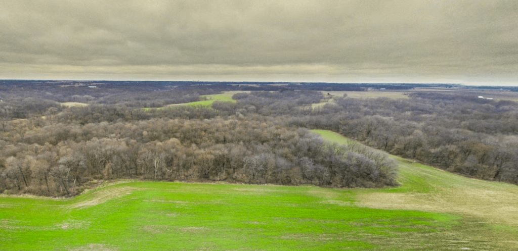
LandCo has created 3D interactive aerial images! You can zoom in and out, scroll in circles, pan up and down…and the best part is that it is composed of live up to date actual photos…not satellite imagery. We have been flirting with this concept for many years but the execution and ease of use for our clients was still too much to overcome. Well…they are now here and we will begin rolling them out for all of our properties!
To launch fullscreen on desktop in the same window, click the square icon in the top right on the map. To launch fullscreen in a new window on desktop, click the ‘view on google maps’ link in the top left of the map. On mobile, it works a touch differently. To launch fullscreen on mobile, click the ‘view on google maps link’ on the top left of the map. It will launch a new window that defaults to live view…which is pretty cool. Essentially live view turns your phone into a live window…just move your phone around to see different angles of the property…move it to face the north, and your view of the property will be north. Move it down, and it will look straight down. Its hard to explain but super easy to get the hang of. If you dont like that view on mobile, click the mobile icon in the lower right of the phone, and it will then revert to normal mode where you swipe everywhere to move the map. That was a lot of explaining but Im sure most of it was unnecessary. It is very intuitive. We hope you like it as much as we do! Here is our first 3D aerial look into a property we currently have for sale…the 130 acres in Peoria County!